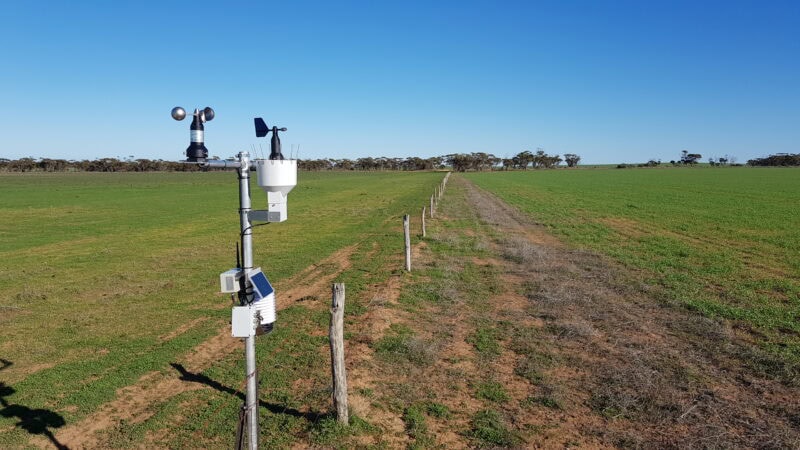
Agbyte EP Weather Station Network
The Agbyte Eyre Peninsula public weather station network is another useful tool for local farmers and industry stakeholders, as landholders scramble for more accurate weather forecasting data in the absence of a radar for the Lower, Central and Eastern Eyre regions.
Former Yeelanna local, Leighton (Leet) Wilksch developed the EP network, along with several others across the State, with the assistance of various funding sources including SAFECOM (majority), Landcare groups and community progress associations.
“Most of the sites were installed during 2019 following a grant from SA Fire and Emergency Services Commission to provide weather data to communities where there was minimal existing coverage”, says Leet.
Data from the automated weather stations can be viewed live online and can used to make management decisions around whether to start or continue various procedures on farms including hay cutting & baling, harvesting and application of crop protection products.
In addition, the platform contains a range of weather derivatives that can be graphed to offer an even greater range of useful datasets including:
- Cumulative growing season rainfall
- Delta T
- Harvest Fire Behaviour Index
- Spray conditions monitoring
- Frost severity inc. duration of chill hours
- Degree days for crop development
- Dew Point
- Evapotranspiration
All public weather station networks can be viewed on the new Bush Linx dashboard platform. Simply click on Public Access and it will take the user through to the various networks.
The User Guide outlines how to navigate around the site and utilise the graphs and map options, and is available to download from the Tools & Resources > Weather & Climate page on the AIR EP Website.